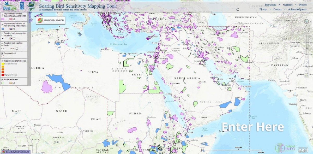
Soaring birds, especially birds of prey, are highly susceptible to collision with wind turbines. This is particularly true in the Mediterranean, Middle East and northeast Africa. Consequently, BirdLife, through the generous support of the Global Environment Facility (GEF), the United Nations Development Programme (UNDP) and the MAVA Foundation, developed the Soaring Bird Sensitivity Mapping Tool. The tool collates data on 96 species of soaring bird from a number of existing data sources. Through the free online web tool, users can delineate the boundaries of a prospective wind farm and quickly generate a report summarising the relevant soaring bird data. Most significantly, a simple, explicit formula is used to assign a sensitivity score and associated sensitivity category, thus allowing for an objective assessment and comparison of prospective locations.
The Soaring Bird Sensitivity Mapping Tool has garnered considerable attention since its launch and has already informed a number of high profile developments in the region. Many end user groups, especially International Financial Institutions (IFIs), consultancies and developers value a tool that is open access, simple to use, and applicable across a large geographic area.
For more information on the tool, please contact the Migratory Soaring Birds Project at: [email protected]
https://maps.birdlife.org/MSBtool/